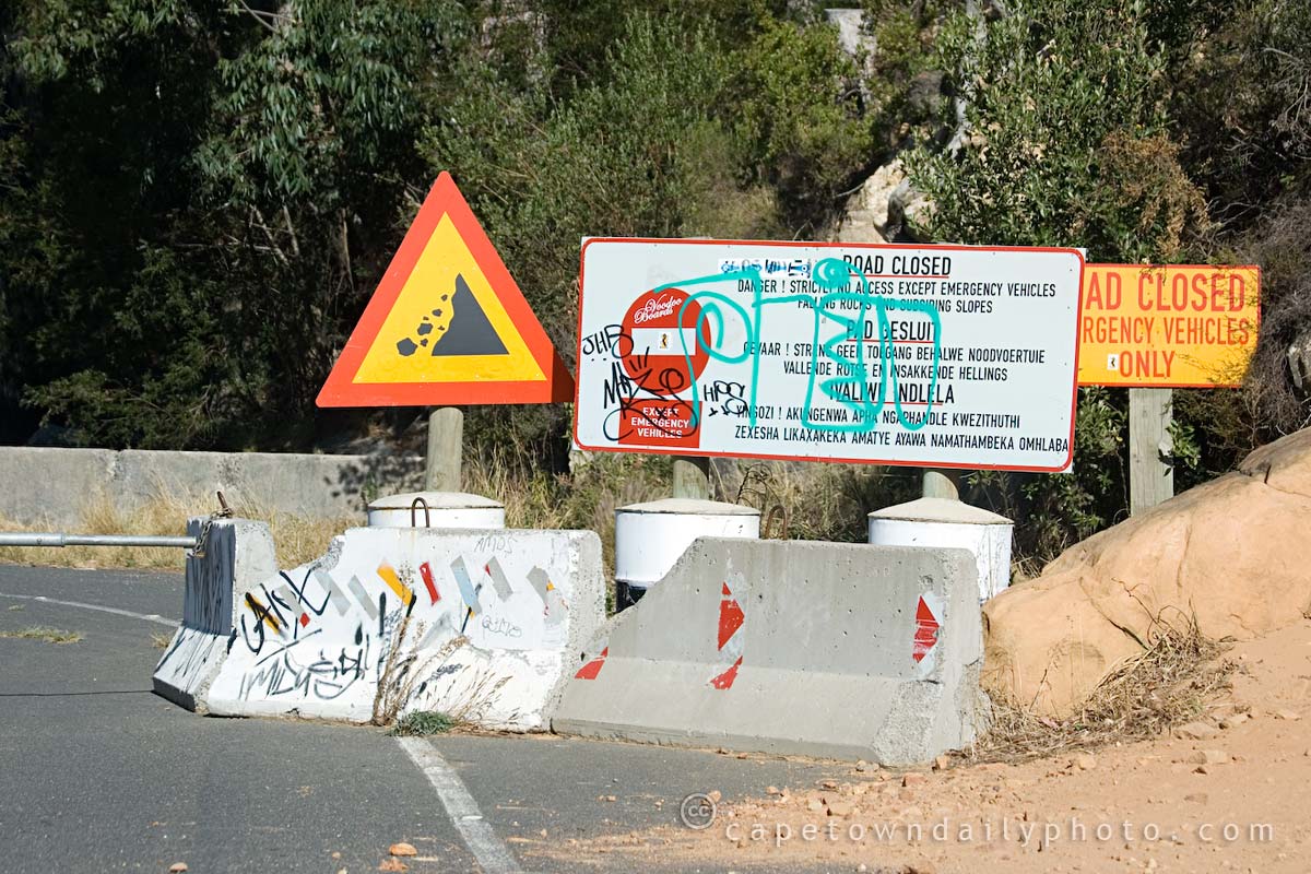
We've taken Tafelberg Road along to the Cable Way many times, but I've never bothered driving further along the road to see exactly where it goes. We decided to take a drive along the mountain road, heading towards the southern suburbs, hoping to eventually get through to Newlands.
All was going well until a few kilometres into our journey, when we suddenly came across what you see in the photo. I mean, really, could they not have warned us that the road was barricaded? I took a look on Wikimapia and found that the road actually does lead down to De Waal Drive, which is a hop, skip and a jump to Newlands.
Even though it took us to a dead end, the view from Tafelberg Road is spectacular. It's actually worthwhile parking near the Cable Way and taking a walk along to the start of the Platteklip Gorge hiking trail, one of routes to the top of the mountain.

Nixgrim
We got the same same shock when we arrived back in SA in the middle of 2007, because we used to love going for a drive along the road to watch the city. It has always been closed to the public though, just further along and around the corner, for conservation purposes. All they’ve done is move the closure closer to the cable station.
Beverley
Always wondered where that road led to now we know but maybe next time we’ll go as far as we can just to see the views..
Candice
I run up there often and it has been closed for ages. It doesn’t actually meet up with De Waal drive although there is a dirt track that goes around Devils Peak and takes you to Rhodes Memorial. You can walk along the road until it ends about 3km from the barricade.
Helen
It is well worth your while to walk along the road a few kilometres. I like the way the mountain is “reclaiming” the road (rockfalls etc). Also interesting, and a bit depressing, is to see the damage caused by the fires last month. Hopefully there will be new growth now the rains have come.
Photos from a recent stroll along there are up on my blog:
http://walkthecape.blogspot.com/2009/04/table-mountain-tafelberg-rd.html